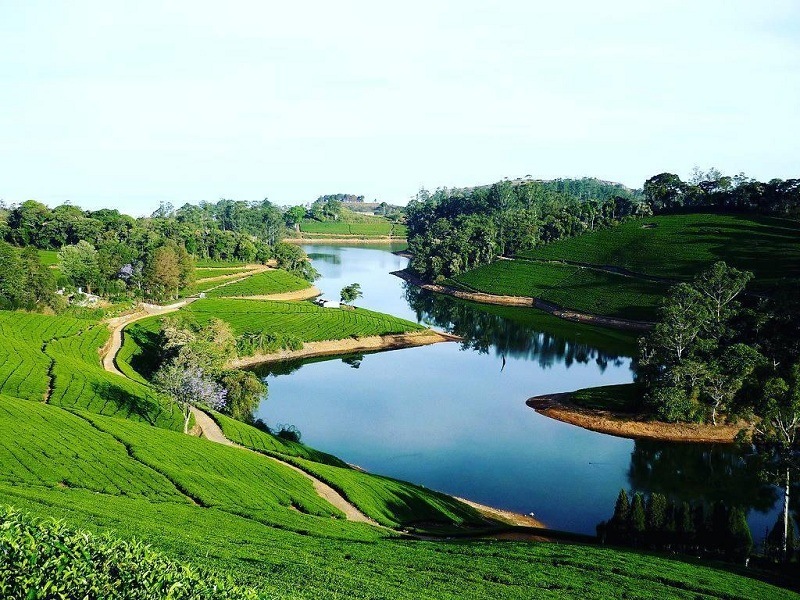
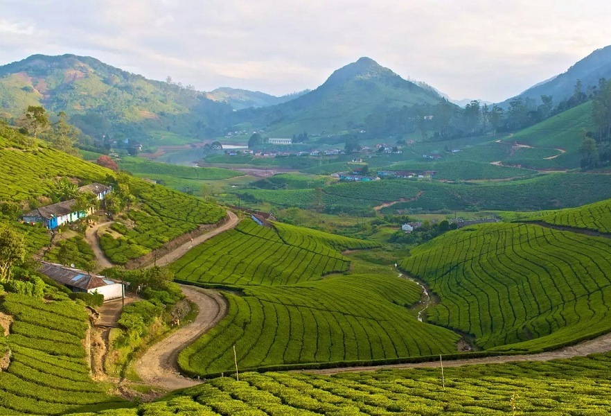
Meghamalai commonly known as the High Wavy Mountains, is a mountain range located in the Western Ghats in the Theni district near Kumily, Tamil Nadu. It is dotted with cardamom plantations and tea plantations. The mountain range is 1,500 metres above sea level, and it is rich in flora and fauna. The area, now mostly planted with tea plants, includes cloudlands, high wavys, venniar, and the manalar estates belonging to the Woodbriar Group. Access is largely restricted and includes largely untouched remnants of evergreen forest.

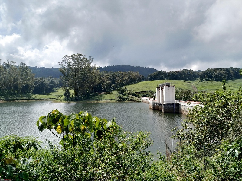
"Manalar Dam" sits at the head of the 126 square kilometres (49 sq mi) Kudiraiyar River basin.[1] In this hilly terrain, topography may account for large variations in rainfall over short distances. A rain gauge at the border of the Kookal forest at 2,000 metres (6,600 ft) recorded rainfall about 50% higher than that of two rain gauges in grasslands at the same altitude and northern slope during 1956–1966
"Maharaja Mettu" offers a wonderful view of the entire mountain range of Varusanadu Hills, lush tea plantations & Cumbum Valley. From the viewpoint, one would be amazed to see endless greenery complimented well by the rocky mountains.The route to the vantage point kept meandering through the tea estates. From the road, one needs to cover about 400 m to reach the viewpoint.


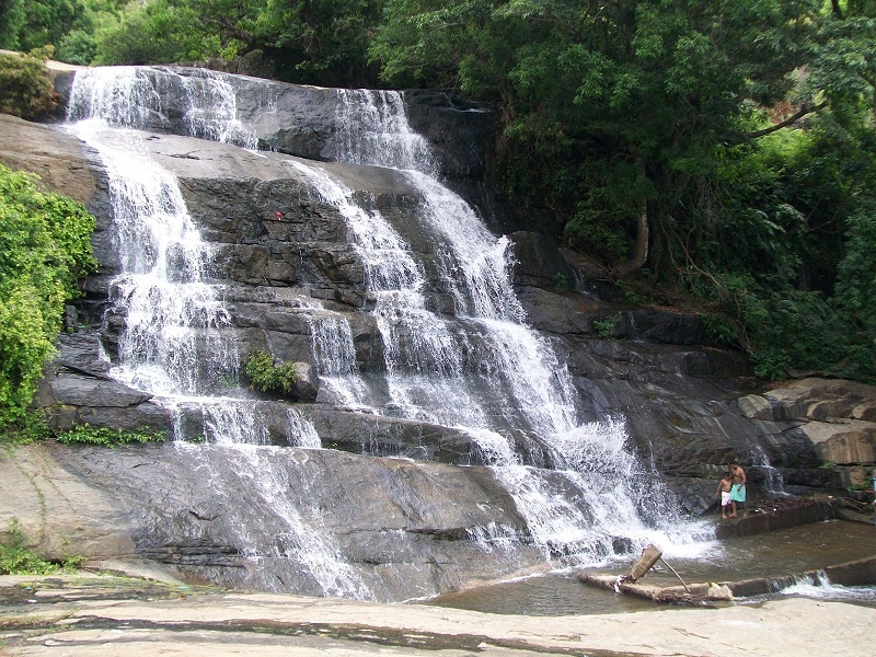
"Chinna Suruli Falls" is located amidst thick green forests at the foothills of the Meghamalai range. It is also known as Cloudland Falls as it originates in the Megamalai Hills. In the local language, Chinna means small or younger, so in a sense, it is called the younger Suruli Falls and is different from Suruli Falls which is situated near Cumbum town.
"Iravangalar Dam" The small hill town of Meghamalai boasts of 6 dams along with countless waterfalls which are perennial. Suruli Theertham, Iravangalar Dam, Manalar Dam, and Highway Dam are the most popular ones. Surrounded by tea plantations and misty hills, the Iravangalar Dam is a perfect place to spend some time in solitude amidst mother nature.

